  Header
   Field  Item                   Format(Fortran)
   01-03  Staion Code                       I3
   04-05  blank                             A2
   06-21  Wave station name                 A16
  Data
   Field  Item                   Format(Fortran)  Explanations and Remarks
   01-04  Year                              I4    JST(UT+9h)
   05-06  Month                             I2
   07-08  Day                               I2
   09-10  Hour                              I2
   11-12  Min                               I2
   13-18  Flag                              I6    0:No error  9999:No data
                                                  4:Estimated from pressure sensor
                                                  7:Estimated from total analog record
                                                  77:Estimated from maximum analog record
  19-24  Number of individual waves        I6
  25-29  Mean wave height                  F6.2  99.99:No data
  31-36  Mean wave period                  F6.1  999.9:No data
  37-42  Significant wave height           F6.2  99.99:No data
  43-48  Significant wave period           F6.1  999.9:No data
  49-54  1/10 highest wave height          F6.2  99.99:No data
  55-60  1/10 highest wave period          F6.1  999.9:No data
  61-66  Maximum wave height               F6.2  99.99:No data
  67-72  Maximum wave period               F6.1  999.9:No data
  73-78  Wave direction                    I6    6666:Calm 9999:No data
  101  AKITA
  2001 1 1 0       0   225  1.38   5.3  2.26   6.5  2.81   6.5  3.74   6.3   279
  2001 1 1 2       0   208  1.61   5.7  2.57   6.9  3.23   7.1  4.11   6.9   270
  2001 1 1 4       0   195  1.92   6.1  3.11   7.7  4.10   7.6  5.78   8.0   276
                   :
                   :
  102  SAKATA
  2001 1 1 0       0   229  1.47   5.2  2.27   6.2  2.81   6.2  4.11   6.2  9999
                   :
                   :
  314  MUROTO
  200412 1 0 0     0   253  0.65   4.7  0.97   5.4  1.20   5.4  1.60   5.6  9999
  200412 1 020     0   247  0.57   4.8  0.88   5.2  1.08   5.1  1.30   5.4  9999
  200412 1 040     0   243  0.63   4.9  0.97   5.4  1.24   5.6  1.75   4.7  9999
                   :
                   :
Ports and Harbors Bureau
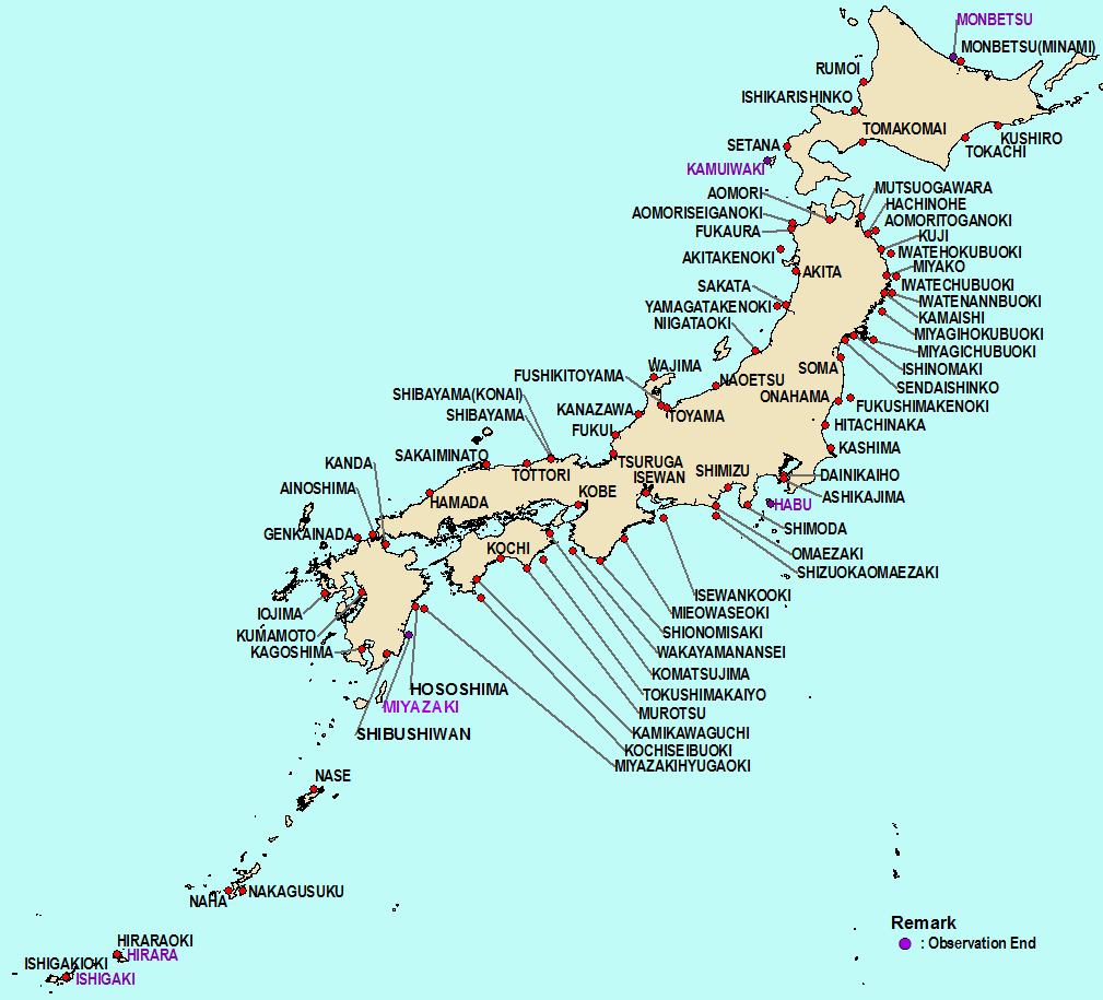
Detail information on observation sites and instruments
Sendai Port and Airport Technical Investigation Office, Tohoku Regional Development Bureau
Yokohama Port and Airport Technical Investigation Office, Kanto Regional Development Bureau
Nigata Port and Airport Technical Investigation Office, Hokuriku Regional Development Bureau
Nagoya Port and Airport Technical Investigation Office, Chubu Regional Development Bureau
Kobe Port and Airport Technical Investigation Office, Kinki Regional Development Bureau
Hiroshima Port and Airport Technical Investigation Office, Cyugoku Regional Development Bureau
Takamatsu Port and Airport Technical Investigation Office, Shikoku Regional Development Bureau
Shimonoseki Port and Airport Technical Investigation Office, Kyusyu Regional Development Bureau
Hokkaido Regional Development Bureau
National Institute for Land and Infrastructure Management
Naha Port and Airport Construction Office
Nakagusuku Port branch office, Naha Port and Airport Construction Office
Hirara Port Construction Office
Ishigaki Port Construction Office
Port and Airport Research Institute